Thursday, November 12, 2020

After the storm........


You can see where the dock is supposed to be and where it ended up!

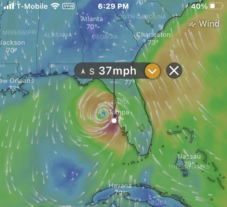
The final rainfall total from Tropical Storm Eta was around 7 inches.  Beth and I went outside around 9:00, which was "high tide".  The water had come over the seawall and was about six feet in the yard.  I've only seen it come over the seawall a few times but never anywhere close to as high as that.  The dock had been lifted off it's frame and was starting to float down the canal.  I was able to secure it with a rope and pull it into the yard to prevent it from heading out to sea.  Thanks to our nephew Scott, the problem is already being resolved.

Eta has left the Gulf coast and is now near Jacksonville.  Soon it will be in the Atlantic Ocean and although it left quite a path of destruction to parts of Nicaragua and Florida, it will soon dissipate.  Thankfully we're safe and a day closer to closing the book on 2020!

I have a dental appointment tomorrow to repair an old root canal.  I just noticed that tomorrow is Friday, November 13 2020.  YIKES! 

Wednesday, November 11, 2020

Stormwatch!


Eta formed in the Caribbean Sea.  It moved westward and hit Nicaragua as a Category 4 Hurricane. It moved back into the Caribbean Sea south of Cuba and regained strength before heading into the Gulf of Mexico.  We're the blue dot on the map!


  According to the "Windy" App.....it's windy out there!


The Atlantic Hurricane season, which includes the Gulf coast, runs from June 1 until November 30.   As a general rule the tropics tend to start calming down by the middle of October.  Of course 2020, hasn't    been an ordinary year, so we probably shouldn't have been surprised to wake up this morning to find      out that for the first time since 1985 a hurricane was in the Gulf of Mexico this late in the season.  Not    only had the very unpredictable Tropical Storm Eta restrengthened, but it had also drifted to the east       bringing it's path very close to Anna Maria Island.  If it continues on it's current path it'll make landfall about 100-150 miles north of us.                                                                                                                

Throughout the day the storm has continued to move upward along the Florida Gulf coast.  Thankfully, it has lost some strength and has been downgraded to a tropical storm.  We've had a lot of light rain and a few heavy downpours throughout the day.  Although the winds have not been much higher than 40 miles per hour on shore, wind gusts just offshore have been reported as high as 70.  The rain, winds and high tide, which is around 9:00 PM, may make for a few bumpy hours this evening.  

By tomorrow morning Eta will have crossed the state and be heading out into the Atlantic Ocean where it will break up.  Hopefully it won't leave too much damage behind.  We should wake up to sunny skies while we wait to see what else 2020 can throw at us!