Friday, October 9, 2020

Mackinac Island........and a three Great Lake day!


In the foreground is the Catholic Cemetery on Mackinac Island.  In the background is the Protestant Cemetery.  Our tour guide pointed out that the Protestant Cemetery appeared to be much holier!  He also pointed out that there was a "No Alcoholic Beverages" sign on the Catholic Cemetery which he found to be a little strange.

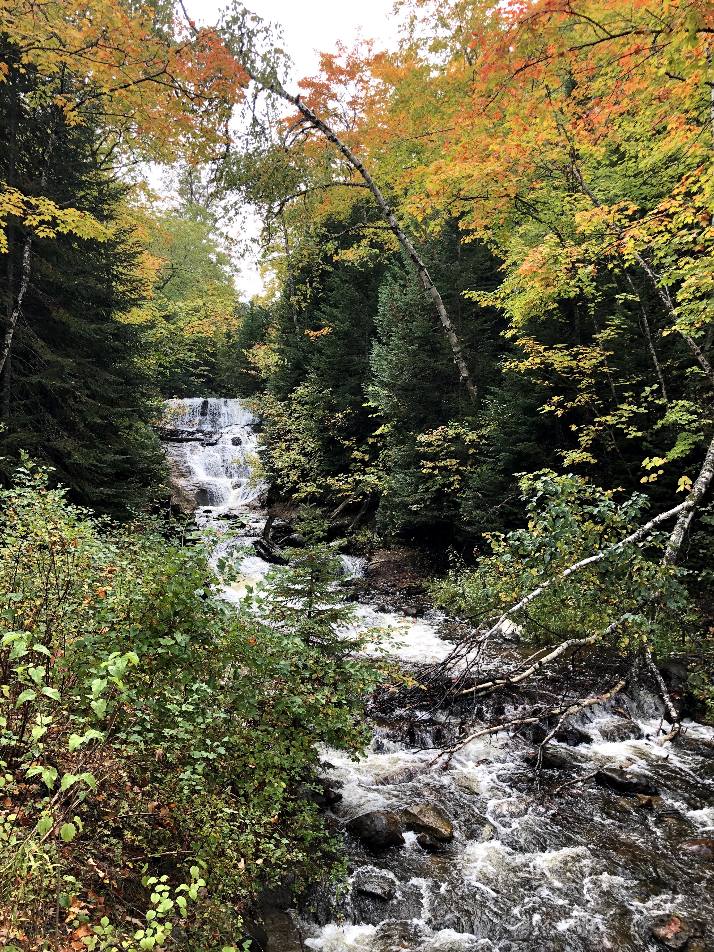
We both got a little sad yesterday when we realized that we only have two more weeks in the Upper Peninsula.  It's an amazing place, with so much to see and do.  We're already looking forward to a return visit.  Munising is an excellent place to use as a base for exploring much of what the Upper Peninsula has to offer.  With Pictured Rocks National Lakeshore and Marquette close by, there's plenty of outdoor activities within a 30-45 minute drive to keep you busy.  Additionally, going east, west or south for a couple of hours you can do longer outings to include places like Tahquamenon Falls, the Porcupine Mountains and Mackinac Island.  These are easily doable in a day, however they will definitely be full day adventures.

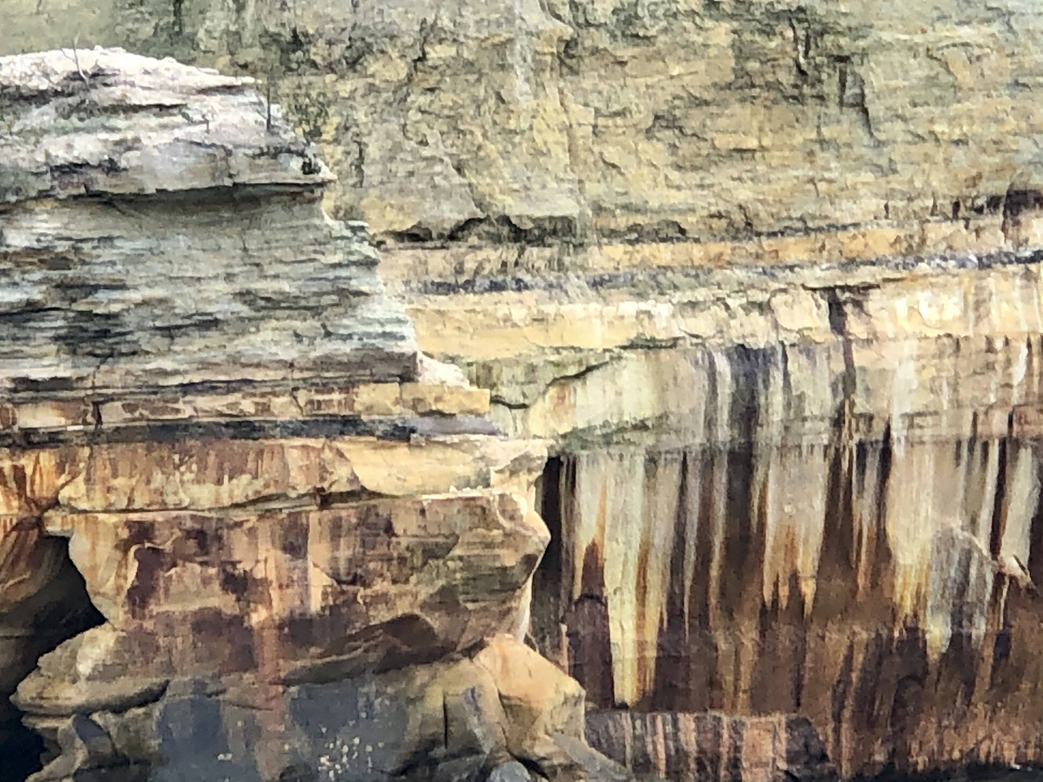
East to Tahquamenon Falls had been checked off the list.  West to the Porcupine Mountains had been checked off the list.  Yesterday was our day to drive south to the lower portion of the Upper Peninsula to visit Mackinac Island.  The drive was an easy two hours on roads that at this time of the year are not crowded and very colorful.  

We caught the ferry from the small town of St. Ignace, which sits on the north side of the Mackinaw Bridge, and is known as the gateway to the Upper Peninsula.  St Ignace's slogan is "it's better above the bridge" and with all due respect to Mackinaw City (which is on the lower end of the bridge), we would agree.  St. Ignace was much less "touristy" than Mackinaw City.  I'm sure there may have been some, but we didn't see an overabundance of t-shirts and fudge shops like it's southern neighbor Mackinaw City.  


There's a big smile behind that mask!


Ferry arriving from Mackinaw City.........probably loaded with fudge and t-shirts

Ferry boats are also available from Mackinaw City.  The cost is approximately the same (currently around $27 round trip) and the time to reach the island is about the same (less than 30 minutes).  There is free parking with a shuttle service to the dock or paid parking at the docks.  Depending on the time of year you visit the island you may want to purchase tickets in advance.  The season on the island is ending within the next week so the number of visitors right now is very small (just the way we like it) so we simply purchased our tickets at the dock.

Shepler's Ferry

One thing that you may have noticed was that there are two different spellings for the word Mackinac.  It's a bit confusing, but here's what I have learned from a little research on the subject.  The Native Americans in the region actually called it Michilimackinac, the place of the "Great Turtle".  They believed that the island was a massive turtle that had risen up out of the waters to create the island.  For a period of time the entire region went by the name Michilimackinac.  Somewhere around 1820 it was shortened to Mackinac.  The founders of Mackinaw City opted for the phonetic spelling, while the island stayed with Mackinac.  The bridge that connects the Lower and Upper Peninsula, and also serves as the dividing line between Lake Michigan and Lake Huron, is spelled Mackinac. 


The Grand Hotel from the ferry.  The hotel currently has just under 400 rooms all of which are decorated differently.  It also boasts the "longest porch in the world" (over 600 feet).  The original construction of the hotel was 93 days........they needed to finish because they had booked all the rooms!


This is the Michigan Governors Summer Home.  It's been a tradition that the governor live there every summer for decades.


The Mackinac Island Marina and Waterfront

Mackinac Island is east of the Mackinaw Bridge and is therefore located in Lake Huron.  The island is around four square miles in size, making it somewhat small for an island but quite large for a turtles back.  The year round population is less than 1,000 residents, however, during the summer that number jumps considerably as the island resort comes to life.


Mackinac Island


Much of the island is a part of the Michigan State Park System.  It was actually the United States second national park from 1875-1895.  Yellowstone was the first national park if you're keeping score.

There is so much history and uniqueness about the island that it would be impossible to do more than scratch the surface in a blog.  Archeologists have excavated fishing camps on the island that date back to 700 AD.  Fast forwarding a bit, the British captured the island and Fort Mackinac in the War of 1812 by simply firing a warning shot and letting the US Commander know that his troops were greatly outnumbered and would be slaughtered.  The British then returned the island to the US though the Treaty of Ghent that was signed in 1815.


Marquette Park with a small section of Fort Mackinac in the background.

After the Civil War, Mackinac Island began to develop as a tourist destination. It has continued to grow and evolve ever since.  Currently Mackinac Island hosts about 1 million visitors per year, almost all of them visiting between mid-spring and early-fall.  As I had mentioned previously, Mackinac Island's 2020 season is coming to an end.  Some of the restaurants and shops along the Disney like Main Street had already closed.  They will soon be joined by the others and the hotels, leaving it a virtual ghost town after next weekend (October 18).


Main Street wasn't very crowded on a mid-week day, late in the season.  Doud's Market is the only "grocery store" on the island.  It's open year round for the permanent resident and few winter visitors.

A very nice feature of Mackinac Island is that practically all motorized vehicles have been banned from the island since 1898.  With very few exceptions, the only motorized vehicles allowed are emergency vehicles, service vehicles and snowmobiles in the winter.  One recent exception that naturally caused quite a controversy was back in 2019 when Vice President Pence visited the island and brought along his Vice Presidential motorcade with him.  Even without motorized vehicles, getting around the island is quite easy.  There are numerous bike rental places (or you can bring your own on the ferry), horse drawn carriages which serve as taxis, or walking.


Bikes are plentiful everywhere on the island.


As are horse drawn carriages.  There are two nine hole golf courses on the island that are separated by a few miles.  Golfers playing both courses actually ride in carriages from one course to the other.  


As suggested by our wonderful Airbnb host, when we got off the ferry we booked a narrated carriage tour.  The tour is a great way to learn some of the history, see a great deal of the island and get your bearings for further exploration by bike or walking.  Our guide was quite knowledgeable of the islands history and told numerous stories, often in a humorous manner.  


That masked woman two rows behind the driver is Beth


Arched rock with the blue waters of Lake Huron in the background.


The post office is believed to be the only one in the US to have never delivered a piece of mail.  All residents and business come to the post office to pick up their mail.

After the tour we set out to walk the 8.2 mile perimeter of the island.  In spite of there being very few vehicles on the island the perimeter is a narrow road that is designated as a state highway (M-185).  We covered the entire walk seeing numerous other walkers and bikers and a few horse drawn carriages, but no vehicles!  


Along the trail around the island.


Cannonball's snack shop is about half way around the island from Main Street.  It's a perfect place for a sandwich or snack if you're walking or biking around the island.


There are approximately 80 kids (K-12) that attend the island school.  Our guide pointed out that graduating classes are usually around 4-8 kids and that Senior Prom can be somewhat strange.


There's plenty of fudge available on Mackinac Island!

We were back in our Munising home by sunset.  Mackinac Island and views of three of the five Great Lakes in one day.........not bad!


Wednesday, October 7, 2020

Pictured Rocks National Lakeshore.........mostly in pictures!


Our Airbnb from the boat!

In 1966 the US Congress designated forty two miles of shoreline between Munising and Grand Marais as Pictured Rocks National Lakeshore.  The National Lakeshore designation was created to allow oversight by the US National Park Service to preserve these environmental, cultural and recreational lakeshore areas.  Pictured Rocks was the first area of four areas that have earned this designation.  Two are on Lake Michigan and two are on Lake Superior.

Annually around 750,000 people visit the 42 miles of shoreline and 73,236 acres that make up Pictured Rocks National Lakeshore.  As the name implies, the featured attraction are the 15 miles of steep, colorful cliffs that get their color from the minerals (iron, copper, manganese and limonite) contained in the spring water that seeps through the sandstone.  Additionally there are over 100 miles of trails, numerous campgrounds, sandy beaches, towering sand dunes and waterfalls throughout the park making it extremely diverse.

Pictured Rocks National Lakeshore 

We've hiked miles of trails enjoying many of the waterfalls along the way.  We've also visited several of the sandy beaches and dunes.  We enjoyed viewing some of the Pictured Rocks from the shoreline, but yesterday we got a closer look from a two hour boat cruise.  From May to October, Pictured Rock Cruises offers several different options of cruises (Classic, Spray Falls and Sunset) that take guests out on the lake to get the best view, not only of the pictured rocks but also of the East Channel Lighthouse on Grand Island.

Pictured Rocks Cruises

We took the two hour Spray Falls cruise which is similar to the classic cruise with an additional visit to Spray Falls.  The weather conditions yesterday were very favorable. It was a little warmer than it had been and the lake was "calm".  In spite of this, sitting on the upper deck of the boat it did get a little chilly and once we were out of the bay it was a little bumpy but well worth it.


Beth took this picture of someone she thought was me!  Masks were required on the boat and they were selling at 50% capacity to allow social distancing.


Here's Pictured Rocks the way it should be.........in pictures! 


The East Channel Lighthouse on Grand Island.  It was established in 1868 and deactivated in 1908.  The last lighthouse keeper and his wife had 12 children.  I guess he was keeping the flame burning in more ways than one!

Sunday, October 4, 2020

A Yooper of a weekend.........football, falls and foliage!


Au Sable Point Light Station......safely guiding most ships along what is known as "The Graveyard Coast" since 1874.

It was a beautiful but chilly weekend here in the Upper Peninsula.  The high temperatures were in the low forties and the low's were in the mid thirties.  There is no doubt that fall is in the air and it feels very refreshing.

Munising High School is just a mile or so down the road.  It sits right on the lake, which would have been a major distraction for me.  I think I would have spent more time gazing out at the lake than focusing on academics.  As we rode by the school I noticed on the electronic message board that the Munising Mustangs varsity football team had a home game Friday night.  Those of you who know me know that I am somewhat of a sports junkie and high school football is something that I enjoy.  Beth is somewhat of a sports fan but going to a high school football game in a town where the only person she knows is me wasn't high on her list of priorities.  I wasn't surprised when she declined my invitation to join me.  I put on my warmest clothes and off I went in search of Munising's Friday Night Lights.  

Even if there wasn't a game going on the stadium would have been worth seeing.  It was tucked at the end of a street near the middle of town surrounded by small hills with trees showing off all their fall colors.  As with many small towns, school pride runs deep and it seemed as if a good portion of the town had turned out to cheer on the local boys.  Schools the size of Munising, in this part of Michigan, play "Eight Man" football instead of the traditional eleven man game.  It's very similar to Texas Six Man Football that I enjoyed so often with Craig Kerr, Lee Ray Davis and Jim Perkey.  The games are fast paced and often with a lot of scoring.  In the case of Friday nights game, all the scoring that I saw was done by the home team Mustangs.  I left at halftime with them holding a commanding 32-0 lead.  I did see the final score was a somewhat respectable 40-12.  It was six dollars (five to get in and buck for hot chocolate) well spent for an evening of entertainment.


It was a beautiful night for football in a beautiful setting.  In case you were wondering, all the bleachers are on one side.  Everyone had an unobstructed view of the trees across the way..........

except for these fans who took advantage of the hillside to watch the game for free or socially distance from the rest of us.

Saturday we ventured eastward from Munising to the village of Grand Marais.  Grand Marais is located on Lake Superior and is the eastern gateway to Pictured Rocks National Lakeshore (Munising is the western gateway).  Our game plan was to start there and work our way back towards Munising with several stops for short hikes to waterfalls and of course enjoying the fall foliage.  Our hikes took us first to Grand Sable Dunes, which as the name implies were a series of sand dunes that have formed from wind, water, erosion and a whole bunch of time.  Nearby Grand Sable Dunes was the seventy five foot tall Sable Falls.  The best view of the falls is from the viewing platform which is located down 169 steps.  If you go, take the stairs down, relax and enjoy all the views of the falls and creek as it feeds into Lake Superior.  The stairs will be waiting for you when you're done.  


Grand Marais Inner Harbor Lighthouse


Sable Dunes


Sable Falls from the lower viewing platform


Sable Falls from a bit further downstream


Thinking about those 169 stairs back to the top!


Grand Sable Lake

Our last stop of the day was a really nice, flat, three mile lakeshore hike from the Hurricane River Campground to the Au Sable Point Light Station.  This light house has been attempting to guide the way for ships and sailors around the Au Sable Point since 1874.  I'm sure that it has saved countless ships and lives through the years. The waters in that area are considered very treacherous and a number of shipwrecks have been recorded just off shore.


Au Sable Light Station from a different point of view!


 The Graveyard Coast with Pictured Rocks Lakeshore in the background.

We were intentionally slow in getting going today, making sure we took time to enjoy the view out our back door.  When we did get going, it was another enjoyable hike this time to the sixty foot tall Chapel Falls.  The trail head for this hike is about five miles down a dirt road that at the present time resembles a washboard.  There was no need to hurry the drive, when the scenery along the road to this popular spot was so nice.  We're enjoying every minute of the leaves because one thing we have noticed is that once they reach what seems to be their "peak color" they fade away and fall off quickly.  We'll still have fall colors for the remainder of our time in Munising, just not as much as we've enjoyed this past week.  One thing for sure, we won't run out of things to do here in the Upper Peninsula!


The funny thing about the sign is that it's posted about 3/4's of the way down the bumpy road!


Chapel Falls


Along the Chapel Falls Trail


Chapel Falls Lake


Friday, October 2, 2020

A triple feature in the Porcupine Mountains........


Greetings from the Summit Peak Tower in the Porkies!

The Porcupine Mountains, which are often referred to as the "Porkies", are a group of small mountains here in the Upper Peninsula.  They are located in the appropriately named Porcupine Mountain Wilderness State Park, the largest state park in Michigan.   They got their name from the Native American Ojibwa tribe because their silhouettes resemble a crouching porcupine.  Not being an expert on what crouching porcupines look like, I'll take their word for it.

Porcupine Mountains

The Porkies are located a little over a three hour drive from Munising.  It was a long day's journey but both the journey and the destination were well worth the investment.  The leaves along most of the drive were amazing, although in a few places they were past their peak and the trees were becoming bare.  Additionally, part of the drive was along the Lake Superior shoreline.  The lake was a little restless yesterday and waves that looked in the 3-5 foot range were crashing on the rocky shores and sandy beaches.

Surf's Up on Lake Superior........

We're not the type that make "minute by minute" plans of what we are going to do.  We're more freelancers that have a general idea where we're going and what we're going to do, but it's always subject to change.  On yesterday's journey to the Porkies we were more "freelancers" than usual.  We knew we were going to the "Porkies" and we knew we were going to visit the Lake of the Clouds.  Beyond that, we had no plan.  What we ended up with, thanks to a friendly hiker who had been visiting and hiking in the porkies for twenty one years, was a triple feature of the park.

The first feature of the day was a stop at the Lake of the Clouds, where the temperature checked in at a slightly sub-tropical but comfortable feeling 39 degrees.  The Lake of the Clouds is a 133 acre lake that is situated in the valley between two ridges of the Porkies.  It is fed on the east end by the Carp River Inlet and on the west end of the lake, the outflow empties into Lake Superior by way of the Carp River.  In earlier times the lake was simply known as Carp Lake, however Lake of the Clouds is certainly a more marketable name.  Whatever you want to call it, the views from the vistas high above the lake are spectacular!


A blustery, beautiful day at Lake of the Clouds!


According to the "leaf experts" the leaves at the Lake of the Clouds area are at peak condition.

The Carp River....flowing towards Lake Superior.

After gazing at the Lake of the Clouds we were off to our next destination, although we really didn't have one.  We stopped at a trail head thinking that we'd check out a short trail.  At the trail head Beth asked our friendly hiker friend who looked quite knowledgeable if she had any suggestions.  After talking for a minute she laid out the second and third feature of our trip to the Porkies. 

Her suggestions were for us to visit the Summit Peak which was located close to the middle of the 60,000 acre park.  As the name implies, it's the highest point in the state park.  Interestingly, for a number of years it was believed to be the highest point in the state, but further geological studies have found two places that are slightly higher.  At the end of a .8 mile hike was the Summit Peak Tower.  The 3-4 flights of stairs took us above the tree tops for a great 360 degree view of the Porkies and blue waters of Lake Superior.


Next stop for me, Beth and the Silver Bullet..........Summit Peak


Stairway to Summit Peak Tower.

We wrapped up our triple feature in the Porkies in the Presque Isle River area at the far western side of the park.  I'm beginning to think that up north they like the name Presque Isle.  We enjoyed swimming in Lake Erie while visiting Presque Isle State Park in Erie, Pennsylvania.   The views of Lake Superior were great as we drove through Presque Isle Park in Marquette, Michigan.   In the Porkies, the waterfalls of Presque Isle River as it flows towards Lake Superior were awesome.


One of the many Presque Isle River waterfalls


The largest of the Presque Isle waterfalls that we saw.

Presque Isle River meeting Lake Superior

Lake of the Clouds, Summit Peak and Presque Isle River.........a triple feature in the Porkies!

This mornings sunrise on Superior