Thursday, June 8, 2017

The Icefields Parkway

The Icefields Parkway is a 144 mile road from Lake Louise to Jasper.  If you read the literature it is often described as the worlds most scenic drive.  What I know after doing it is that I really can't make an argument for any other drive being as scenic.  It took us over 10 hours to make the drive which is probably evidence enough.  Hopefully the pictures will do some justice to it's beauty.
http://www.icefieldsparkway.ca/
Crowfoot Glacier

Bow Lake

Bow Summit/Peyto Lake

Bow Summit/Peyto Lake

Mistaya Canyon

Picnic along Coleman Creek

The Weeping Wall

Icefield Glacier-"Toe of the Glacier"

Mountain Sheep along a very sheer wall

Sunwapta Falls

Bear #4

Athabasca Falls

Athabasca Falls

20 Somethings just have a different prespective!

Our hotel (Castle Mountain Chalets) in the Banff area was actually located about 20 miles out of town.  It was between Lake Louise and Banff so it was a nice location that made access to both areas very easy.  We took the Bow Valley Parkway (1A) towards Banff stopping first at the Johnston Canyon for a fairly short but great hike through the canyon.  The trail was built along the canyon wall and the mist from the waterfalls was both cool and refreshing.
https://www.banfflakelouise.com/
Our first stop in the city of Banff was the visitors center where a nice young lady was very helpful in making a couple of suggestions based on our interest in walking.  After a picnic along the Bow River we were off on the first of the two hikes she suggested.  The first one was fairly short and basic following the river to Bow Falls which is located close to the very impressive (and expensive) Fairmont Banff Springs Hotel.
The second hike she suggested was longer (around 6 miles) roundtrip again following along the river but taking us out of town to the Hoodoo's.  The Hoodoo's are rock formations created by a whole bunch of time and weather.  It sounded like a nice hike and that the Hoodoo's were worth seeing.  We asked the very friendly, helpful, 20 something if the trail had much elevation.  She smiled and cheerfully said no, just a little bit.
https://en.wikipedia.org/wiki/Hoodoo_(geology)
It was a great hike and the Hoodoo's were worth seeing but we did realize about half way out that elevation change means something very different to a 20 year old than it does to us.  We were happy to have completed it especially after we took a different trail back that took us a little off course. Fortunately the diversion ran right by an ice cream store!
As we headed back towards the hotel at the end of a long fun day we made one more stop at Marble Canyon.  This was a short hike to a deep narrow canyon with walls that looked like marble.  Even though we were pretty pooped by the time we got there it was well worth the effort.  We also accomplished two other things by making this side trip.  First, we visited our fifth Canadian National Park, Kootenay National Park and second, we crossed the Continental Divide!


Johnston Canyon Trail

Johnston Canyon

Elk along the Bow Falls Trail

Bow Falls

Banff Springs Hotel

We walked right up on this guy before we saw him

A well deserved rest near the turnaround point on the Hoodoo Trail

The Hoodoo's!

Marble Canyon

Splitting the Continental Divide!  Left side flows to the Pacific, right side to the Atlantic 

Wednesday, June 7, 2017

Revelstoke to Banff

Our drive from Revelstoke to Castle Mountain Chalets was only 150 miles or so along the Trans Canada Highway.  This highway is 4,860 miles in length stretching from St. Johns Newfoundland on the east coast to Victoria on the west coast.  According to my math we covered a whopping .03% of the total length.  In the short drive we did manage one thing that I think is pretty impressive. We passed through four National Parks, Mount Revelstoke, Glacier, Yoho and Banff.  There was stunning scenery the whole way that was highlighted by us spotting a grizzly bear as we were getting near our hotel! 
We took a bunch of pictures along the way and hopefully I'll be able to attach a few to this blog (the internet isn't real strong up here) and I'll edit it when we return to civilization. 


Lake Louise


Emerald Lake

Natural Bridge Falls near Emerald Lake

Along the Highway

Moraine Lake-A shout out to an old friend (Marty Moore) for suggesting we check it out


Monday, June 5, 2017

Revelstoke, A Dam and A Good Soak!

Before leaving Penticton Saturday morning we had one more stop, the Saturday Farmers Market in downtown.  This is a huge weekly event from the spring through the fall that takes up several blocks of Main Street as well as a couple of intersecting streets.  We got there not long after the scheduled opening time of 8:30 and it was already bustling with vendors and shoppers.  There was only one thing lacking and that was fresh produce!  The growing season starts a little later up here so most fruits and vegetables won't be ready until July/August.  There was plenty of fresh breads and other baked goods so we didn't go hungry and we were able to pick up some huge, crisp apples at a fruit stand a few days before so we've had a sampling.  I would love to be here when all the fresh fruits and veggies are in season.  It looks like they produce quite a variety.
Our next destination was Revelstoke which is about 150 miles Northeast of Penticton.  The drive up Highway 97 took us up the western side of Okanagan Lake before we crossed over to the east side at Kelowna.  It is a beautiful city on the lake that we enjoyed walking around for an hour or so.  We were on Highway 97 another hour or so before we got on the Trans Canada Highway (Highway 1).  The highway number may have changed but the scenery the entire drive was amazing.  Huge lakes, rivers, forests and snow capped mountains the entire way!
Revelstoke is a "ski town" with about 7,000 residents that is located along the Columbia River.  Even up here in the Great White North ski season is over and summer vacations haven't started so the town is a little sleepy right now, just the way we like it.  I've learned that the Revelstoke Mountain Resort has the greatest vertical of any ski resort in North America (5,620 feet).  I have absolutely no idea what that means but it sounds impressive and it also sounds like something that I want no part of!
http://seerevelstoke.com/
http://www.revelstokemountainresort.com/
Just a few miles north of the city is the Revelstoke Dam.  This dam is just under 600 feet tall and produces enough electricity through it's five turbines to power around 1 million homes and businesses in British Columbia.  They have a really nice visitors center and tour of the facility which was well worth the hour or so of time and $6 admission fee.  Our tour guide was a college student who is working at the dam for the summer.  When we asked her at the end of the tour if she had any recommendations for the rest of the day she suggested we visit Halcyon Hot Springs.  Well, she pretty much had us convinced just by the mere mention of the word "hot springs" but her description of the springs overlooking a lake and the mountains plus a nice restaurant had us on the road in no time.  It was about an hour out of Revelstoke but again the drive was spectacular. There was an added bonus on this drive and that was that a twenty minute ferry ride across Upper Arrow Lake was required.  The ferry runs every hour from the Revelstoke side of the lake and returns on the half hour and you can't beat the cost..........free!
There were four pools at the springs, my favorite @ 104, Beth's favorite @ 99, a "seasonal" pool @ 86 and a cold plunge @ 58.  Beth managed 50 seconds in the cold plunge.  I lasted around four and a half seconds!  I think with the two hours or so we spent in the warmer pools we got our moneys worth for the day!
https://www.bchydro.com/community/recreation_areas/visitor-centres/revelstoke-visitor-centre.html
https://halcyon-hotsprings.com/
http://www2.gov.bc.ca/gov/content/transportation/passenger-travel/water-travel/inland-ferries/upper-arrow-lake-ferry


No we didn't.  The sign was actually in a pizza joint.  I thought it was pretty funny

These life size grizzly bears are at the entrance to downtown Revelstoke.  Dad on one side, mom and cub on the other

From our hotel room at sunset

We don't do many selfies.  This one was on the ferry

From the ferry

Hot Springs Pools @ Halcyon Hot Springs

Outdoor patio at the hot springs

It's true for us!

The ferry ride back from the hot springs.........totally relaxed!

Trans Canada Highway Bridge in Revelstoke

Sunday, June 4, 2017

Biking the Kettle Valley Railway Trail


No, that's not a misprint in the title!  We mixed it up a little bit, used a few different muscles and got in some biking.  About 26 miles worth of it on the Kettle Valley Railway Trail.  This multiuse trail(hiking, biking and horses) was built along a railway bed that was no longer in service.
 http://www.visitpenticton.com/
http://www.penticton.ca/EN/main/community/parks-trails-beaches/trails.html
We did just a small section riding from Penticton to Little Tunnel, which as the name implies is a little tunnel.  The ride was along the eastern shore of Okanagan Lake and cut through vineyards, orchards and pine forests along the way.  One of the nice things about the ride is that the ground was relatively flat which for us non-mountain bikers was perfect.  The entire way out there was a fairly steady small elevation increase of 1-2% which required a little bit of an effort.  Once we reached Little Tunnel and turned around the ride back was pretty easy.
We rented the bikes from a local bike shop in Penticton (Performance Bikes) from a young man named Josh.  When Josh found out we were from Texas (my license is still a Texas license) he told us he had just opened a bbq place in Penticton and that he was going to be taking some of his staff to Austin in the fall to experience Texas bbq.  We had a long conversation about some of the great ones in a state that's full of great bbq joints.  I recommended a number of them to him (Franklin, Salt Lick, Smitty's, Kreuz Market & Snow's.  If he can come close to duplicating what those places put out he's going to do great.
http://www.texasmonthly.com/list/the-50-best-bbq-joints-in-the-world/
As I had mentioned, the ride went through vineyards and where there are vineyards there are also wineries.  We rewarded our efforts with lunch at the Hillside Winery and Bistro on the way back into Penticton.  It was a two hour lunch as we soaked in the view, the food and merlot, while letting our bodies (and butts) get a little rest before heading back into Penticton.
http://www.hillsideestate.com/
It wasn't the Tour de France but the Tour de Kettle Valley Railway Trail was pretty darn spectacular!


Proper nutrition and hydration are important on these bike rides!

Along the Kettle Valley Trail-Yes, that's sweat on my shirt!

Trail View

The Little Tunnel-Our turnaround point

From the patio of the Hillside Winery and Bistro

Aerated Chocolate-Hillside Winery & Bistro


Saturday, June 3, 2017

Canadian Wine Country.........way too much of a good thing!

We've put Vancouver in the rear view mirror and moved inland around 250 miles to the city of Penticton.  By the time we left Vancouver we had pretty well circumnavigated the entire peninsula that makes up the main part of the city.  We even spent some time in a couple of areas (Chinatown and Gas Light District) that we really hadn't explored before.  There are a bunch of places to see around the globe but Vancouver is high on our list of places we're already looking forward to visiting again. 
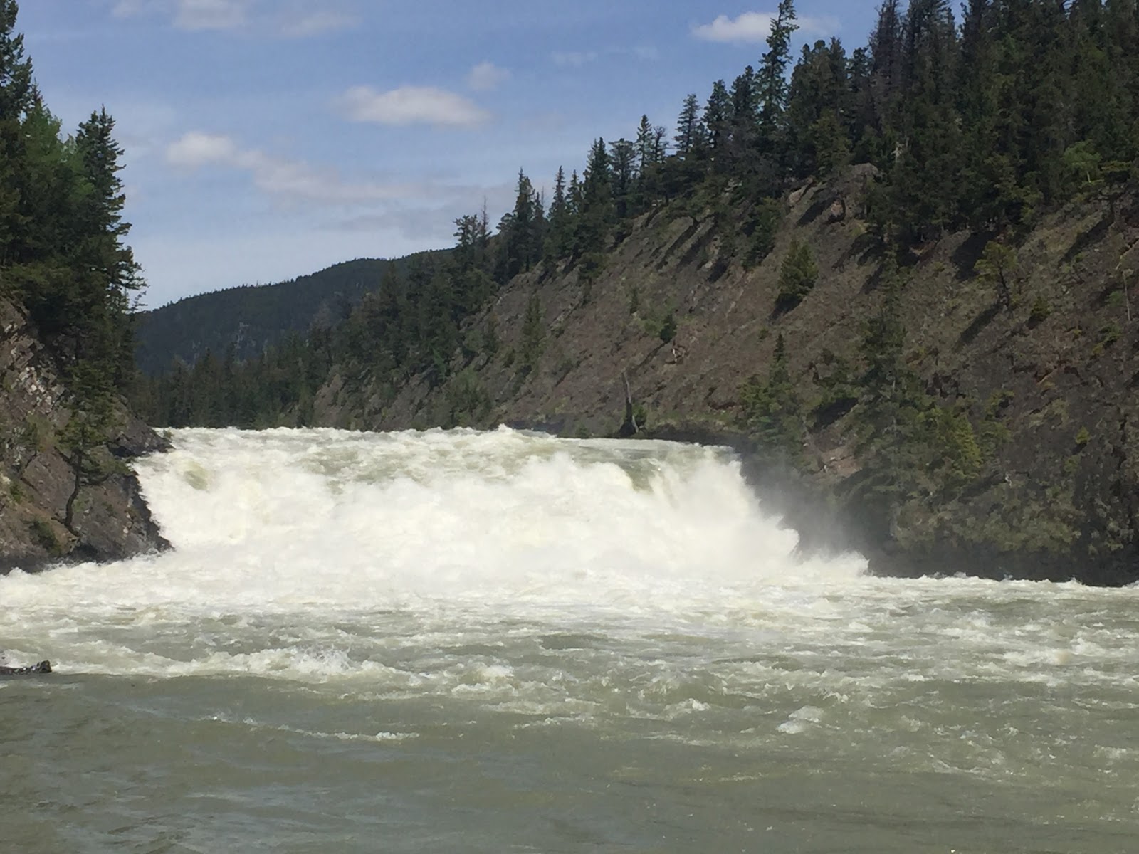
Once we got out of Vancouver and the suburbs the drive became very scenic as we drove part of what is known as the Crows Nest Highway.  The total length of the Crows Nest Highway is over 700 miles.  Obviously we did just a portion of it but it included a couple of nice climbs and descents including the Allison Pass Summit and Manning Provincial Park. 
Penticton is one of those gems that Beth has the ability to find.  It's a city of about 50,000 that has the distinction of being situated between two large lakes.  On the north side is Okanagan Lake which is almost 100 miles long and around 4 miles wide at it's widest point.  To the south is Shaka Lake which is much smaller (7 miles long and 1.4 miles wide) but impressive in it's own right.
This area is Canada's oldest wine producing region and currently there are over 125 wineries.  The heaviest concentration of them is along the eastern shore of Okanagan Lake although they extend down south to the small towns of Oliver and Osoyoos which are very close to the US border. 
It was suggested to us by a nice lady in the visitors center that if we drove down towards Osoyoos that we stop at the Burrowing Owl Winery for lunch.  We had no option but to take her up on the recommendation especially after she shared with us that her favorite place on earth is Anna Maria Island!  The Burrowing Owl wine (and food) was really nice and shouldn't be confused with the Winking Owl wine that you can buy at Aldi for around $3.  Although at $35-40 a bottle I'll be sticking closer to the Winking Owl wine!
https://www.burrowingowlwine.ca/
https://grapecollective.com/articles/winking-owl-reviews-of-an-under-3-wine
After a little looking around we headed back towards Penticton and found Ice Cream Heaven!  It's a place called Tickleberry's in Okanagan Falls which is a small town that doesn't have a waterfall (seriously).  The ice cream was amazing but it wasn't just the quality it was also the quantity.  A small "single" cone had 3 hearty scoops.  It was a tough job but we fought our way through it.
http://www.tickleberrys.com/
So was it too much wine or too much ice cream?  Actually it was neither!  The too much of a good thing I'm referring to is the record rain and snowfall that this area received this past winter.  When we started walking along the elevated walkway of the Lake Okanagan shore we noticed the lake level seemed as if it might be elevated even though it's contained within the lake.  We've since learned by talking to a number of locals that it is at levels that have never been seen by life long residents.  Even though it is not overflowing it's banks there is normally 40-50 feet of sandy beach in front of our hotel and right now there is none.  If you recall the lake sizes I shared earlier in this blog the excess water in the big lake (Okanagan) flows out through a dam into the smaller lake (Shaka) and then on down into other small lakes and rivers.  I'm not an engineer but I can tell you it's going to take a long time for the lake (which hasn't crested yet) to return to it's normal level.  Some of the pictures may give you a better idea.


This is the SS Sicamous.  It has been a museum for 40 years.  Normally it has no water under it.  Right now it is floating!


http://sssicamous.ca/

These three statues of children are normally 2+ feet out of the water.  The water is above the knees of the first child.  Someone put lifejackets on them...........not a bad idea!
What it normally looks like along the lake front

Sandbags along the walkway.  Normally there is 40-50 feet of beach here


The walkway along Okanagan Lake.  It remains high and dry although the water comes right up to it.  Notice all the nice benchs

Lunch at the Burrowing Owl!

Desert Center Boardwalk

A storm brewing over the vineyards!